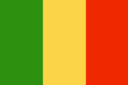
Pays/Territoires
Mise à jour 2021-01-12 18:58:07
Les noms des pays/territoires du monde sont donnés en Français et Chinois. Cette collection des précieuses terres fermes du monde que toute l'humanité partage inclut non seulement les pays indépendants, mais aussi des régions spécifiques qui ne sont pas membre de l'ONUOrganisation des Nations Unies: Nous, peuples des Nations Unies ... Une ONU plus forte pour un monde meilleur. Veuillez aussi consulter les noms des pays en masculin et féminin en Français.
GéoPays Fermer
1
id
Pays
Pays en Anglais
Mali
Pays
Mali
countryucasefr
MALI
Pays en Chinois
Pays en Espagnol
Malí
Pays en Italien
Il Mali
Pays en Portugais
Mali
Pays en Allemand
Mali
countrypy
ma3 li3
countrylocal
Mali
countryfull
Mali
countrynm
Mali
ISO2
ML
ISO3
MLI
countrycodeisono
466
countrycodevehicle
RMM
countrycodeolympic
MLI
countrycodeirs
ML
countrycodeirsfr
ML
countrycodeirsmixt
MLI
♂Masulin
15
6
57
languagesfr
Français
119
currency
franc
currencyfr
franc C.F.A.
currencyisocode
XOF
currencyisocodefull
XOF 952
currencypxcode
XOF
currencysymbol
CFAF
currencysubdivision
100 centimes
currencyregime
Euro (655.957)
currencyvalue
0.00186
nationalityfr
Malienne
Capitale
Bamako
capitalfr
Bamako
Préfixe Tél.
223
Superficie km2
1 240 190
arealand
1 220 000
areawater
20 000
landarablerate
0.0377
landforestrate
0.108
summit
Hombori Tondo 1 155 m.
boundarycountries
Mauritanie, Algérie, Burkina Faso, Niger, Côte d'Ivoire, Guinée, Sénégal.
flaglink

maplink
mlcolor.gif
outlinemaplink
mlout.gif
visapassenger
-1
maincities
Ségou, Mopti, Sikasso, Kayes, Gao, Tombouctou.
largestcity
Bamako
largestcitypopulation
919 000
rankpopulation
67
Population
11 652 000
rankgdp
122
gdp
4326000000
rankgdpppp
119
gdpppp
11583000000
rankgni
137
gni
3428000000
rankincomeorigin
187
rankincome
201
income
290
rankincomeppp
192
incomeppp
960
lifeexpectation
45.28
alphabetizationrate
0.4495
natalityrate
0.04729
fecondity
7
mortalityrate
0.01912
mortalityrateinfantile
0.11799
growthrate
0.02783
hdi
0.337
precipitation
878
nationalevent
Independence Day
nationaleventfr
Jour de l'Indépendance
nationalholiday
22 September (1960)
Date de naissance aaaa-mm-jj
1960-09-22 00:00:00
7
1
president
Amadou Toumani Touré
location
Western Africa, southwest of Algeria
terrain
mostly flat to rolling northern plains covered by sand; savanna in south, rugged hills in northeast
naturalresources
gold, phosphates, kaolin, salt, limestone, uranium
9
Web
rgbback
16777215
todate
1
| Pays/Territoires | Régions en Chine | Provinces de Chine | Régions en France | Départements de France | Provinces du Monde | Villes/Villages | Localités | Continents du Monde | Vins AOP
