Countries/Territories
Updated 2021-01-12 18:58:56
The names of countries/territories of the world are taught in English and Chinese. This collection of precious dry lands that shares the whole mankind includes not only the world's independent countries, but also specific areas that are not a UNUnited Nations: We the peoples...A stronger UN for a better world. member. Please visit the table of male and female genders of country names in French.
Countries/locations Close
11
id
Country
Country
Anguilla
Country in French
Anguilla
countryucasefr
ANGUILLA
Country in Chinese
Country in Spanish
Anguila
Country in Italian
Anguilla
Country in Portuguese
Anguilla
Country in Germain
Anguilla
countrypy
an1 gui1 la1
countrylocal
Anguilla
countryfull
Anguilla
countrynm
Anguilla
ISO2
AI
ISO3
AIA
countrycodeisono
660
countrycodeirs
AV
countrycodeirsfr
AV
countrycodeirsmixt
AV
♀Female
12
6
51
languagesfr
Anglais
35
currency
dollar
currencyfr
dollar des Caraïbes orientales
currencyisocode
XCD
currencyisocodefull
XCD 951
currencypxcode
XCD
currencysymbol
EC$
currencysubdivision
100 cents
currencyregime
US-$ (2.7)
currencyvalue
0.3745
Capital
The Valley
capitalfr
The Valley
Phone Prefix
1-264
Area km2
91
arealand
102
coastline
61
timezonedeltabegin
-4
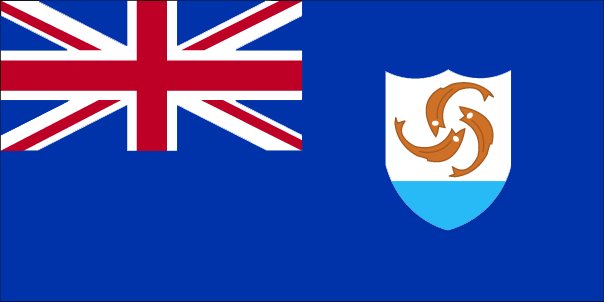
flaglink
maplink
aicolor.gif
outlinemaplink
ai.gif
visapassenger
-1
largestcity
The Valley
rankpopulation
220
Population
11 797
rankincome
222
nationalevent
Anguilla Day
nationaleventfr
Jour d'Anguilla
nationalholiday
30 May
Birthday yyyy-mm-dd
2000-05-30 00:00:00
7
5
location
Caribbean, islands between the Caribbean Sea and North Atlantic Ocean, east of Puerto Rico
terrain
flat and low-lying island of coral and limestone
naturalresources
salt, fish, lobster
9
rgbback
16777215
todate
1
12
id
Country
Country
Antarctica
Country in French
Antarctique
countryucasefr
ANTARCTIQUE
Country in Chinese
Country in Spanish
Antártida
Country in Italian
L'Antartide
Country in Portuguese
Antarctica
Country in Germain
Antarktik
countrypy
nan2 ji2 zhou1
countrylocal
Antarctica
countryfull
Antarctica
countrynm
Antarctica
ISO2
AQ
ISO3
ATA
countrycodeisono
010
countrycodeirs
AY
countrycodeirsfr
AY
countrycodeirsmixt
AY
♀Female
108
1
currencypxcode
XDR
Area km2
14 107 637
arealand
14 000 000
coastline
17968
flaglink
maplink
antarc.gif
outlinemaplink
anaroutl.gif
visapassenger
-1
Population
1 400
rankincome
222
location
continent mostly south of the Antarctic Circle
terrain
about 98% thick continental ice sheet and 2% barren rock, with average elevations between 2,000 and 4,000 meters; mountain ranges up to nearly 5,000 meters; ice-free coastal areas include parts of southern Victoria Land, Wilkes Land, the Antarctic Peninsula area, and parts of Ross Island on McMurdo Sound; glaciers form ice shelves along about half of the coastline, and floating ice shelves constitute 11% of the area of the continent
naturalresources
iron ore, chromium, copper, gold, nickel, platinum
9
rgbback
16777215
todate
1
13
id
Country
Country
Antigua and Barbuda
Country in French
Antigua-et-Barbuda
countryucasefr
ANTIGUA-ET-BARBUDA
Country in Chinese
Country in Spanish
Antigua y barbuda
Country in Italian
L'Antigua e barbuda
Country in Portuguese
Antigua e barbuda
Country in Germain
Antigua und Barbuda
countrypy
an1 ti2 gua1 he2 ba1 bu4 da2
countrylocal
Antigua and Barbuda
countryfull
Antigua and Barbuda
countrynm
Antigua and Barbuda
ISO2
AG
ISO3
ATG
countrycodeisono
028
countrycodeolympic
ANT
countrycodeirs
AG
countrycodeirsfr
AG
countrycodeirsmixt
AB
♂Male
12
6
51
languagesfr
Anglais
35
currency
dollar
currencyfr
dollar des Caraïbes orientales
currencyisocode
XCD
currencyisocodefull
XCD 951
currencypxcode
XCD
currencysymbol
EC$
currencysubdivision
100 cents
currencyregime
US-$ (2.7)
currencyvalue
0.3745
Capital
Saint John's
capitalfr
Saint John's
Phone Prefix
1-268
Area km2
440
arealand
443
landarablerate
0.1818
landforestrate
0.205
coastline
153
summit
Boggy Peak 402 m.
timezonedeltabegin
-4
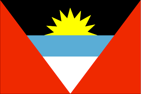
flaglink
maplink
agcolor.gif
outlinemaplink
ag.gif
visapassenger
-1
maincities
Codrington, Old Road, Urlins, Bolands, All Saints.
largestcity
St John's
largestcitypopulation
24 000
rankpopulation
192
Population
79 000
rankgdp
159
gdp
757000000
rankgdpppp
160
gdpppp
809000000
rankgni
179
gni
719000000
rankincomeorigin
57
rankincome
61
income
9160
rankincomeppp
78
incomeppp
9730
lifeexpectation
71.9
alphabetizationrate
0.89
natalityrate
0.01726
fecondity
2.29
mortalityrate
0.00444
mortalityrateinfantile
0.01946
growthrate
0.0057
hdi
0.8
urbanization
0.677
nationalevent
Independence Day (National Day)
nationaleventfr
Jour de l'Indépendance (Jour National)
nationalholiday
1 November (1981)
Birthday yyyy-mm-dd
1981-11-01 00:00:00
8
10
location
Caribbean, islands between the Caribbean Sea and the North Atlantic Ocean, east-southeast of Puerto Rico
terrain
mostly low-lying limestone and coral islands, with some higher volcanic areas
naturalresources
NEGL; pleasant climate fosters tourism
9
Web
rgbback
16777215
todate
1
14
id
Country
Country
Arab World
Country in French
Arab World
countryucasefr
Arab World
Country in Chinese
Country in Spanish
Arab World
Country in Italian
Arab World
Country in Portuguese
Arab World
Country in Germain
Arab World
ISO2
ARB
ISO3
ARB
todate
1
15
id
Country
Country
Arctic Ocean
Country in French
Océan Boréal
countryucasefr
OCEAN BOREAL
Country in Chinese
countryfull
Arctic Ocean
countrynm
Arctic Ocean
ISO2
BOO2
ISO3
BOO2
♂Male
108
1
currencypxcode
XDR
Area km2
14 056 000
coastline
45389
rankincome
222
location
body of water between Europe, Asia, and North America, mostly north of the Arctic Circle
terrain
central surface covered by a perennial drifting polar icepack that averages about 3 meters in thickness, although pressure ridges may be three times that size; clockwise drift pattern in the Beaufort Gyral Stream, but nearly straight-line movement from the New Siberian Islands (Russia) to Denmark Strait (between Greenland and Iceland); the icepack is surrounded by open seas during the summer, but more than doubles in size during the winter and extends to the encircling landmasses; the ocean floor is about 50% continental shelf (highest percentage of any ocean) with the remainder a central basin interrupted by three submarine ridges (Alpha Cordillera, Nansen Cordillera, and Lomonosov Ridge)
naturalresources
sand and gravel aggregates, placer deposits, polym
cooking
includes Baltic Sea, Black Sea, Caribbean Sea, Davis Strait, Denmark Strait, part of the Drake Passage, Gulf of Mexico, Mediterranean Sea, North Sea, Norwegian Sea, almost all of the Scotia Sea, and other tributary water bodies
9
rgbback
16777215
todate
1
16
id
Country
Country
Argentina
Country in French
Argentine
countryucasefr
ARGENTINE
Country in Chinese
Country in Spanish
La Argentina
Country in Italian
L'Argentina
Country in Portuguese
Argentina
Country in Germain
Argentinien
countrypy
a1 gen1 ting2
countrylocal
Argentina
countryfull
Argentina
countrynm
Argentina
ISO2
AR
ISO3
ARG
countrycodeisono
032
countrycodevehicle
RA
countrycodeolympic
ARG
countrycodeirs
AR
countrycodeirsfr
AR
countrycodeirsmixt
AR
countrycode
54
♀Female
15
7
131
languagesfr
Espagnol
8
currency
peso
currencyfr
peso
currencyisocode
ARS
currencyisocodefull
ARS 032
currencypxcode
ARS
currencysymbol
$
currencysubdivision
100 centavos
currencyregime
float
currencyvalue
0.3469
nationalityfr
Argentine
Capital
Buenos Aires
capitalfr
Buenos Aires
Phone Prefix
54
Area km2
2 766 890
arealand
2 736 690
areawater
30 200
landarablerate
0.0914
landforestrate
0.127
coastline
4989
summit
Cerro Aconcagua 6 962 m
boundarycountries
Chili, Bolivie, Paraguay, Brésil, Uruguay
timezonedeltabegin
-3
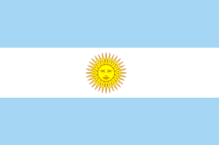
flaglink
maplink
arcolor.gif
outlinemaplink
ar.gif
visapassenger
-1
maincities
Córdoba, Rosario, Mendoza, La Plata, Mar del Plata, San Miguel de Tucumán.
largestcity
Buenos Aires
largestcitypopulation
11 802 000
rankpopulation
31
Population
36 772 000
rankgdp
35
gdp
129596000000
rankgdpppp
22
gdpppp
445148000000
rankgni
30
gni
140139000000
rankincomeorigin
84
rankincome
93
income
3810
rankincomeppp
66
incomeppp
11410
lifeexpectation
75.5
alphabetizationrate
0.984
mortalityrateinfantile
0.0172
urbanization
0.603
precipitation
1147
nationalevent
Revolution Day
nationaleventfr
Jour de le Révolution
nationalholiday
25 May (1810)
Birthday yyyy-mm-dd
1810-05-25 00:00:00
7
7
location
Southern South America, bordering the South Atlantic Ocean, between Chile and Uruguay
terrain
rich plains of the Pampas in northern half, flat to rolling plateau of Patagonia in south, rugged Andes along western border
naturalresources
fertile plains of the Pampas, lead, zinc, tin, cop
cooking
Fruits exotiques.
9
Web
rgbback
16777215
todate
1
Notes
Fruits exotiques.
17
id
Country
Country
Armenia
Country in French
Arménie
countryucasefr
ARMENIE
Country in Chinese
Country in Spanish
Armenia
Country in Italian
L'Armenia
Country in Portuguese
Arménia
Country in Germain
Armenien
countrypy
ya4 mei3 ni2 ya4
countrylocal
Hayastan
countryfull
Armenia
countrynm
Armenia
ISO2
AM
ISO3
ARM
countrycodeisono
051
countrycodevehicle
AM
countrycodeolympic
ARM
countrycodeirs
AM
countrycodeirsfr
AM
countrycodeirsmixt
AM
♀Female
15
6
19
languagesfr
Arménien
126
currency
dram
currencyfr
rouble
currencyisocode
AMD
currencyisocodefull
AMD 051
currencypxcode
AMD
currencysubdivision
100 luma
nationalityfr
Arménienne
Capital
Yerevan
capitalfr
Erevan
Phone Prefix
7
Area km2
29 800
arealand
28 400
areawater
1 400
landarablerate
0.1752
landforestrate
0.124
summit
Aragats Lerr 4 095 m.
boundarycountries
Turquie, Azerbaïdjan, Iran, Géorgie.
timezonedeltabegin
4
flaglink
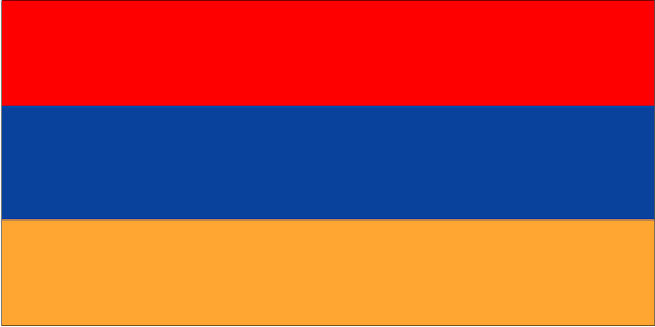
maplink
am-map.gif
outlinemaplink
am.gif
visapassenger
-1
maincities
Koumaïri, Karaklis, Gyumri, Kirovakan, Razdan, Echmiadzin, Abovyan.
largestcity
Yerevan
largestcitypopulation
1 278 000
rankpopulation
132
Population
3 056 000
rankgdp
136
gdp
2805000000
rankgdpppp
120
gdpppp
11217000000
rankgni
143
gni
2888000000
rankincomeorigin
139
rankincome
150
income
950
rankincomeppp
134
incomeppp
3790
lifeexpectation
66.78
natalityrate
0.0132
mortalityrate
0.01036
mortalityrateinfantile
0.04066
hdi
0.729
precipitation
277
nationalevent
Independence Day
nationaleventfr
Jour de l'Indépendance
nationalholiday
21 September (1991)
Birthday yyyy-mm-dd
1991-09-21 00:00:00
8
8
location
Southwestern Asia, east of Turkey
terrain
Armenian Highland with mountains; little forest land; fast flowing rivers; good soil in Aras River valley
naturalresources
small deposits of gold, copper, molybdenum, zinc,
7
Web
rgbback
16777215
todate
1
18
id
Country
Country
Aruba
Country in French
Aruba
countryucasefr
ARUBA
Country in Chinese
Country in Spanish
Aruba
Country in Italian
Aruba
Country in Portuguese
Aruba
Country in Germain
Aruba
countrypy
a1 lu2 ba1
countrylocal
Aruba
countryfull
Aruba
countrynm
Aruba
ISO2
AW
ISO3
ABW
countrycodeisono
533
countrycodeolympic
ARU
countrycodeirs
AA
countrycodeirsfr
AA
countrycodeirsmixt
AA
♀Female
18
6
51
9
currency
guilder (a.k.a. florin or gulden)
currencyisocode
AWG
currencyisocodefull
AWG 533
currencypxcode
AWG
currencysymbol
Afl.
currencysubdivision
100 cents
currencyregime
US-$ (1.79)
currencyvalue
0.565
Capital
Oranjestad
capitalfr
Oranjestad
Phone Prefix
297
Area km2
180
arealand
193
landarablerate
0.1053
coastline
68.5
timezonedeltabegin
-4
flaglink
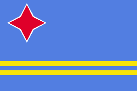
maplink
awcolor.gif
outlinemaplink
aw.gif
visapassenger
-1
largestcity
Oranjestad
rankpopulation
189
Population
99 000
rankgdp
144
gdp
1875000000
rankgni
161
gni
1230000000
rankincomeorigin
46
rankincome
47
income
12300
lifeexpectation
78.98
natalityrate
0.01153
mortalityrate
0.00647
mortalityrateinfantile
0.00602
growthrate
0.0396
hdi
0.738
nationalevent
Flag Day
nationaleventfr
Jour du Drapeau
nationalholiday
18 March
Birthday yyyy-mm-dd
2000-03-18 00:00:00
7
5
location
Caribbean, island in the Caribbean Sea, north of Venezuela
terrain
flat with a few hills; scant vegetation
naturalresources
NEGL; white sandy beaches
9
rgbback
16777215
todate
1
19
id
Country
Country
Ashmore and Cartier Islands
Country in French
Iles d'Ashmore & Cartier
countryucasefr
ILES D'ASHMORE & CARTIER
Country in Chinese
Country in Spanish
Islas De Ashmore Y De Cartier
Country in Italian
Isole Di Cartier & Di Ashmore
Country in Portuguese
Consoles De Ashmore & De Cartier
Country in Germain
Inseln Ashmore U. Cartier
countryfull
Ashmore and Cartier Islands
countrynm
Ashmore and Cartier Islands
ISO2
AUSA
ISO3
AUSA
countrycodeisono
036
countrycodevehicle
AUS
countrycodeolympic
AUS
countrycodeirs
AT
countrycodeirsfr
AT
countrycodeirsmixt
AT
♀Female
12
7
51
10
currencypxcode
AUD
Phone Prefix
61
Area km2
5
arealand
5
coastline
74.1
timezonedeltabegin
8
flaglink
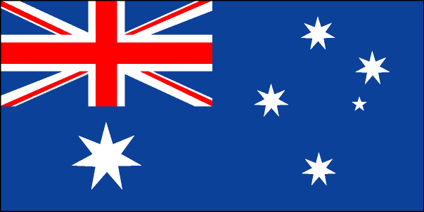
maplink
ashmore.jpg
visapassenger
-1
rankincome
222
president
Reine Elizabeth II
location
Southeastern Asia, islands in the Indian Ocean, northwest of Australia, south of the Indonesian half of Timor island
terrain
low with sand and coral
naturalresources
fish
9
rgbback
16777215
todate
1
20
id
Country
Country
Asia
Country in French
Asie
countryucasefr
Asie
Country in Chinese
countryfull
Asia
countrynm
Asia
ISO2
ASIA
ISO3
ASIA
countrycodeisono
004
countrycodevehicle
AFG
countrycodeolympic
AFG
countrycodeirs
AF
countrycodeirsfr
AF
countrycodeirsmixt
AFC
♀Female
126
languagesfr
Chinois
religions
Bouddhism
3
currency
Yuan
currencyfr
Yuan
currencyisocode
Yuan
currencypxcode
CNY
currencysymbol
¥
Phone Prefix
93
9
rgbback
16777215
todate
1
A | B | C | D | E | F | G | H | I | J | K | L | M | N | O | P | Q | R | S | T | U | V | W | X | Y | Z
China◥ | Countries/Territories | Regions of China | Provinces of China | Regions in France | French Departments | States/Provinces | Cities/Towns | Locations | World Continents | French AOP Wines
